Description
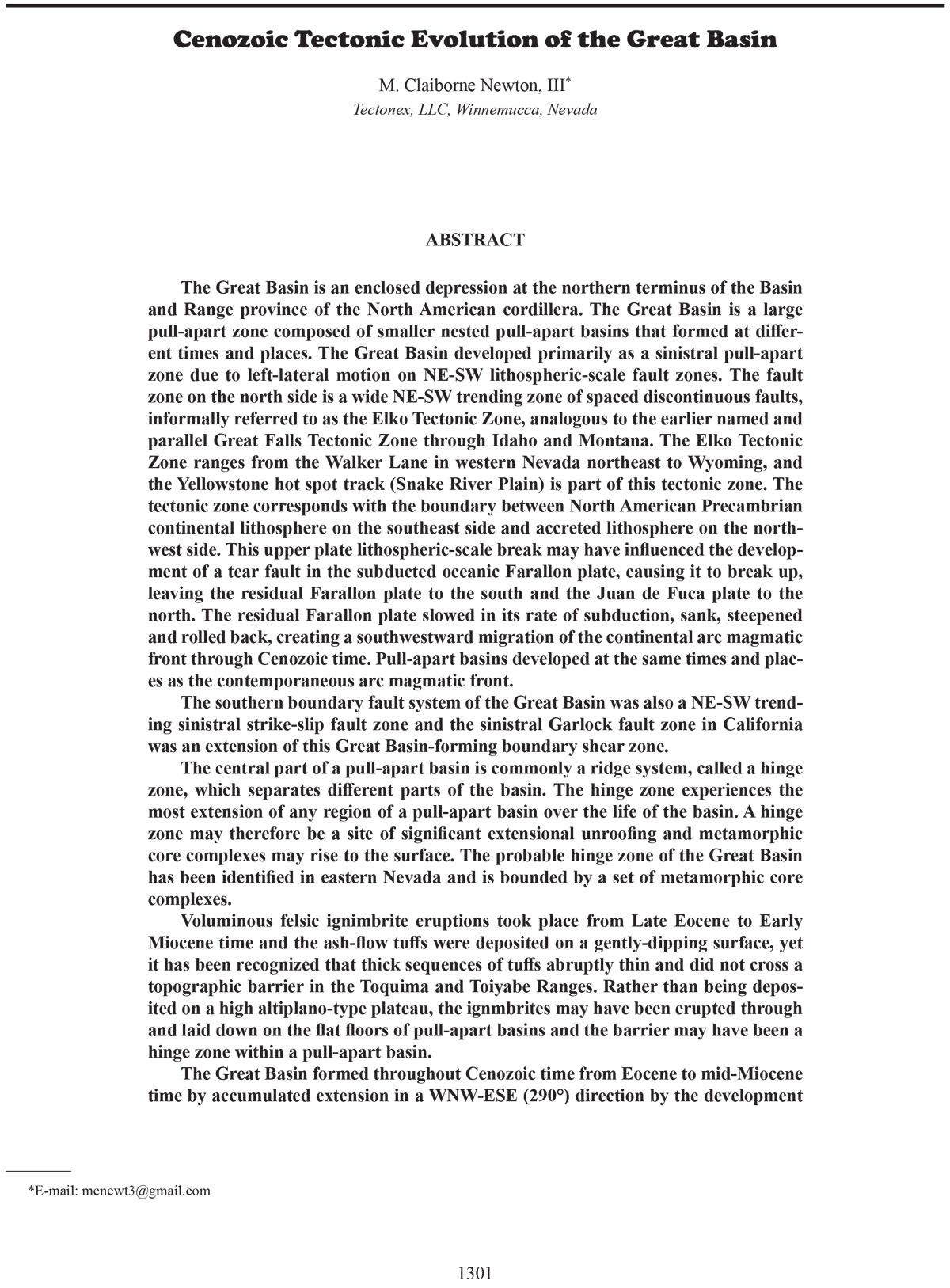
The Great Basin is an enclosed depression at the northern terminus of the Basin
and Range province of the North American cordillera. The Great Basin is a large
pull-apart zone composed of smaller nested pull-apart basins that formed at different times and places. The Great Basin developed primarily as a sinistral pull-apart
zone due to left-lateral motion on NE-SW lithospheric-scale fault zones. The fault
zone on the north side is a wide NE-SW trending zone of spaced discontinuous faults,
informally referred to as the Elko Tectonic Zone, analogous to the earlier named and
parallel Great Falls Tectonic Zone through Idaho and Montana. The Elko Tectonic
Zone ranges from the Walker Lane in western Nevada northeast to Wyoming, and
the Yellowstone hot spot track (Snake River Plain) is part of this tectonic zone. The
tectonic zone corresponds with the boundary between North American Precambrian
continental lithosphere on the southeast side and accreted lithosphere on the northwest side. This upper plate lithospheric-scale break may have influenced the development of a tear fault in the subducted oceanic Farallon plate, causing it to break up,
leaving the residual Farallon plate to the south and the Juan de Fuca plate to the
north. The residual Farallon plate slowed in its rate of subduction, sank, steepened
and rolled back, creating a southwestward migration of the continental arc magmatic
front through Cenozoic time. Pull-apart basins developed at the same times and places as the contemporaneous arc magmatic front.
The southern boundary fault system of the Great Basin was also a NE-SW trending sinistral strike-slip fault zone and the sinistral Garlock fault zone in California
was an extension of this Great Basin-forming boundary shear zone.
The central part of a pull-apart basin is commonly a ridge system, called a hinge
zone, which separates different parts of the basin. The hinge zone experiences the
most extension of any region of a pull-apart basin over the life of the basin. A hinge
zone may therefore be a site of significant extensional unroofing and metamorphic
core complexes may rise to the surface. The probable hinge zone of the Great Basin
has been identified in eastern Nevada and is bounded by a set of metamorphic core
complexes.
Voluminous felsic ignimbrite eruptions took place from Late Eocene to Early
Miocene time and the ash-flow tuffs were deposited on a gently-dipping surface, yet
it has been recognized that thick sequences of tuffs abruptly thin and did not cross a
topographic barrier in the Toquima and Toiyabe Ranges. Rather than being deposited on a high altiplano-type plateau, the ignmbrites may have been erupted through
and laid down on the flat floors of pull-apart basins and the barrier may have been a
hinge zone within a pull-apart basin.
The Great Basin formed throughout Cenozoic time from Eocene to mid-Miocene
time by accumulated extension in a WNW-ESE (290°) direction by the development of nested pull-apart basins, both separate and overlapping in time and space. Most of
these basins were sinistral and dominantly controlled by NE-SW structures within or
parallel to the Elko Tectonic Zone. After mid-Miocene time, as the Walker Lane NWSE dextral strike-slip fault zone became established, pull-apart basins in the Great
Basin increasingly experienced dextral shear and the accumulated direction of extension changed to WSW-ENE (255°), perpendicular to the northern Nevada rift trends


